Taygetos Mountains
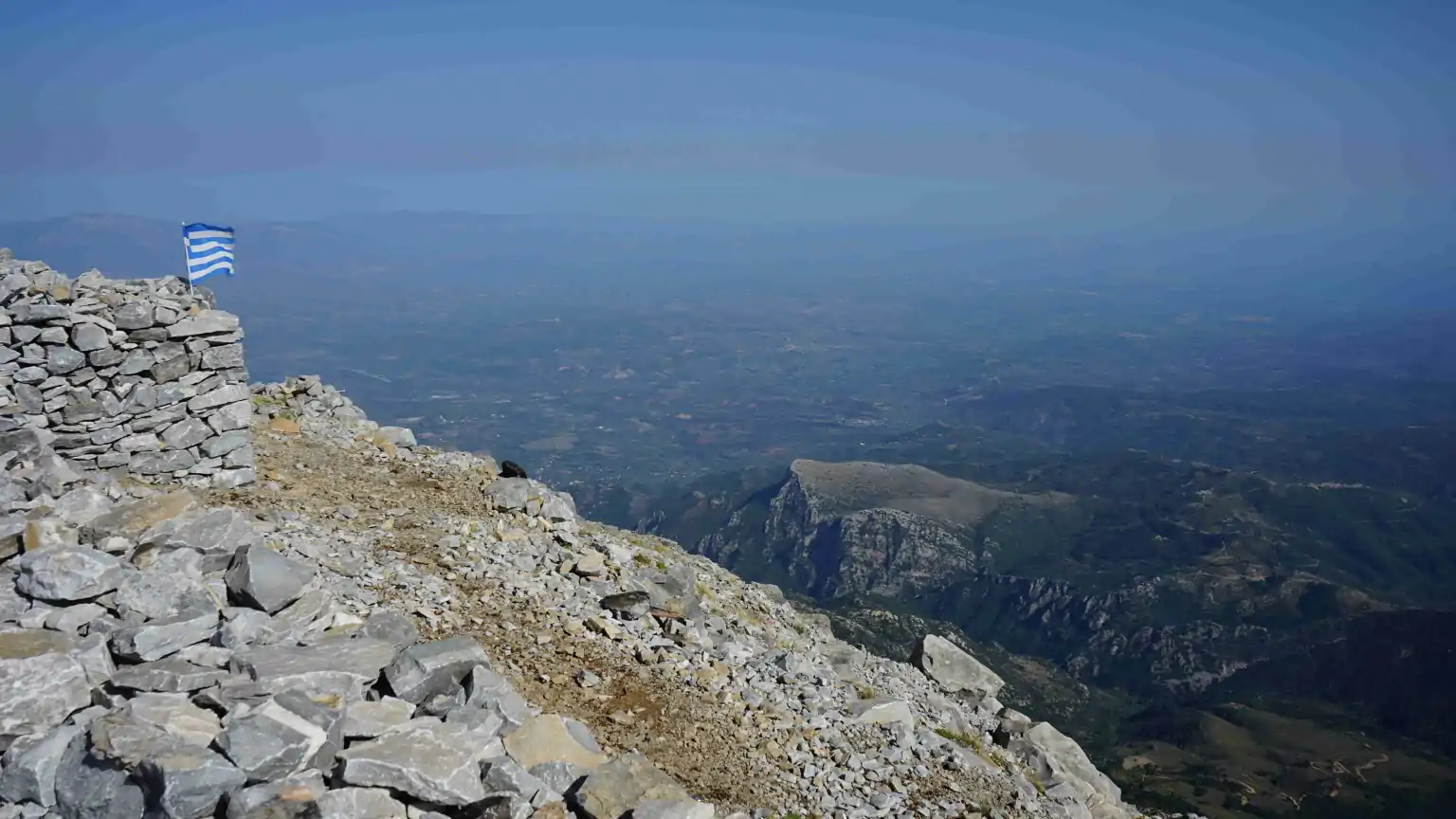
The Taygetos Mountains stretch north from the Mani Peninsula. Its highest peak, Profitis Ilias, is the highest mountain in the Peloponnese at 2407m. The mountains consist of limestone and a strip of slate.
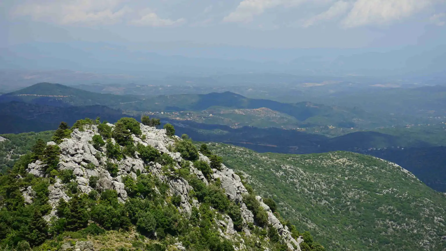
There are many hiking trails throughout the mountains, as well as mountain biking routes and climbing tours.
There are several sites on the Internet with descriptions of interesting routes.
Profitis Ilias (2.404m, Taýgetos, Peloponnes) | outdooractive.com
Peloponnese Travel Guide & Travel Tips | Outdooractive
Diakopto to Gythion in 15 stages – e4-peloponneses
Greek Mountaineering Club of Sparta – Taygetos-Refuge (eosspartis.gr)
Greek Mountaineering Club of Sparta – Taygetos Paths (eosspartis.gr)
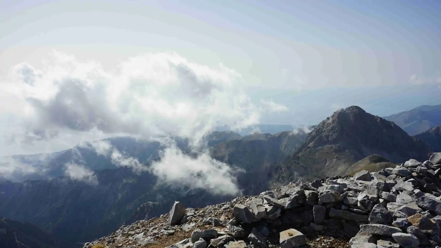
Hiking to the Profitis Ilias peak
To climb Profitis Ilias you should set off early in the morning, as thunderstorms often form in the afternoon in Summer. If possible, you should choose a cloud-free day.
You can choose the Manganiari springs with parking as a starting point. The coordinates are: 36.965510391796656, 22.38208653266184
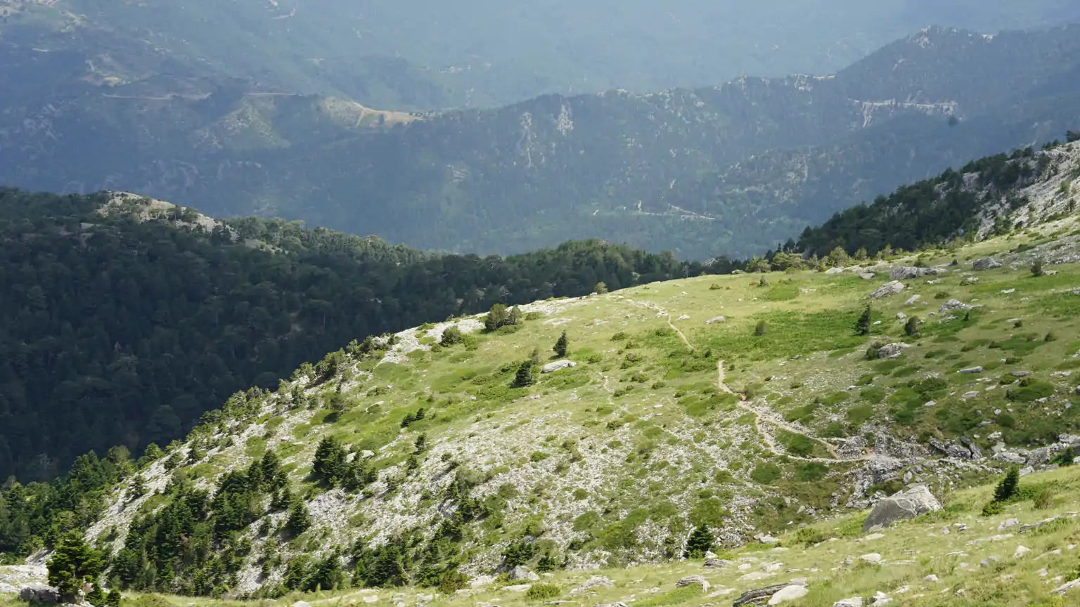
From there it is 550m in altitude to the unmanaged Refugium hut (open only on request) at 1550m altitude, there and back approx. 4 hours.
An easy-to-walk and not-to-be-missed hiking trail winds its way up the mountain. A well-marked, not too difficult hiking trail leads from the hut to the summit at 2407m.
It takes about 6 hours to get to the peakand back to the hut. Since it is about 1500m in altitude from the springs to the summit, it is recommended dividing the route into two one-day tours.
Shortly before the Manganiari Springs, an unpaved road branches off to the left, which initially winds up next to the hiking trail to the refuge. In dry weather it is somewhat navigable. But the situation is constantly changing. The upper part of the road has many potholes and there are large stones on the sometimes steep path.